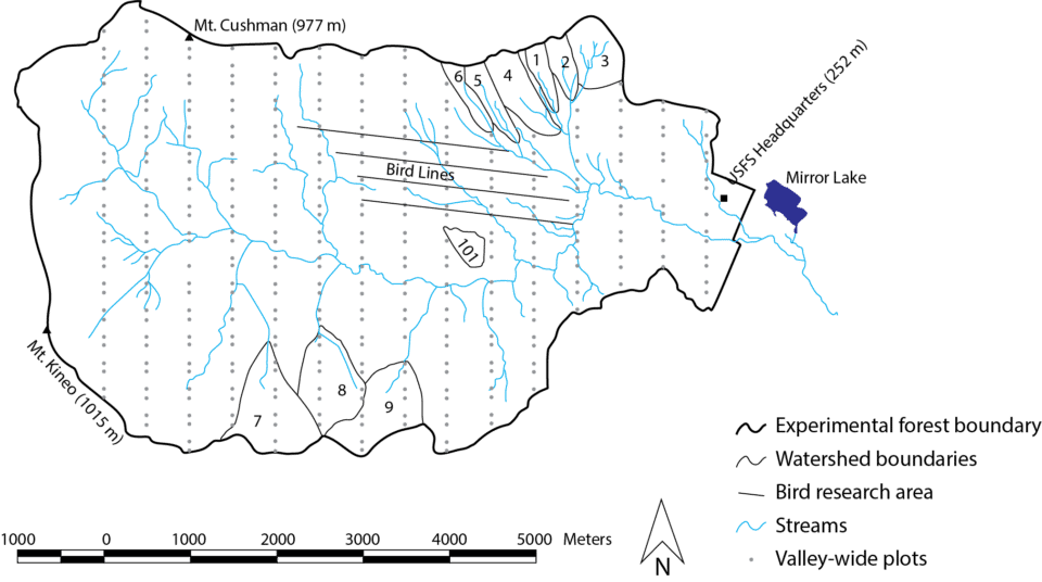
The Hubbard Brook Experimental Forest was established in 1955 by the USDA Forest Service as a center for hydrologic research. Hubbard Brook is one of 20 Experimental Forests and Rangelands (EFRs) administered by the USDA Forest Service Northern Research Station (with 80 EFRs nationally).
The Hubbard Brook Experimental Forest is located on unceded Abenaki land in the southwestern part of the White Mountain National Forest in New Hampshire. The experimental forest occupies a 3,179-hectare (~7,854-acre) bowl-shaped valley that is oriented east–west, with a series of small watersheds occupying the valley’s north- and south-facing slopes. Nine of these small watersheds are equipped with stream gaging stations and other instruments to study the movement of water and chemicals through the ecosystem. The valley captures an elevation gain from 220 m at the eastern mouth to 1150 m at the top of Mount Kineo.
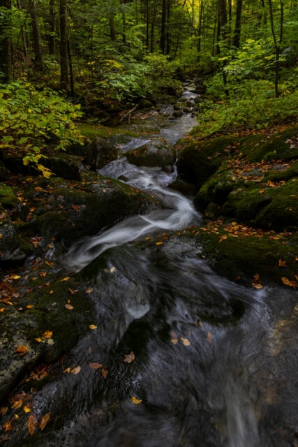
Northern hardwood forests dominate much of the site, with spruce-fir forests at higher elevations. Soils are predominantly well-drained spodosols developed in glacial till. The site hosts numerous streams, from small headwater channels to the larger Hubbard Brook, which feeds into the Pemigewasset River south of the experimental forest. Just outside the boundaries of the national forest is Mirror Lake, an ongoing research site for the Hubbard Brook Ecosystem Study since the 1960s. Mirror Lake is a 15-hectare oligotrophic lake with a maximum depth of 11 meters.
The Hubbard Brook Experimental Forest has weathered a variety of disturbances both natural and human-caused, including logging in the 19th century, acid rain, microbursts, ice storms, exotic pests and pathogens, and many climate impacts, including increased precipitation and rapidly warming winters. How the forest has responded—and will respond—to these and other disturbances is an overarching theme of the site’s research efforts.


