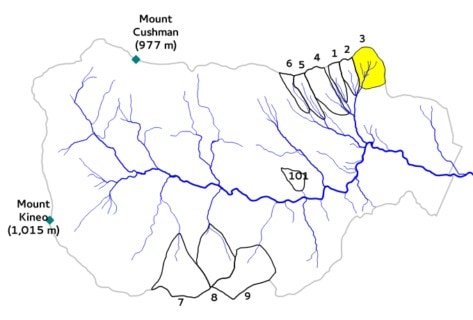
Watershed 3
Area: 42.4 ha
Slope: 12.1°
Aspect: S 23° W
Elevation: 527-732 m
Gage type: V-notch weir
Initial year: 1957

Description: Watershed 3 is used as a hydrologic reference watershed.
Treatment: None
Datasets:
Daily streamflow
Streamwater chemistry
Nutrient Flux (Streamwater)
Nutrient Flux (Precipitation)
Sediment yield in weir basin
