Valleywide Permanent Plots
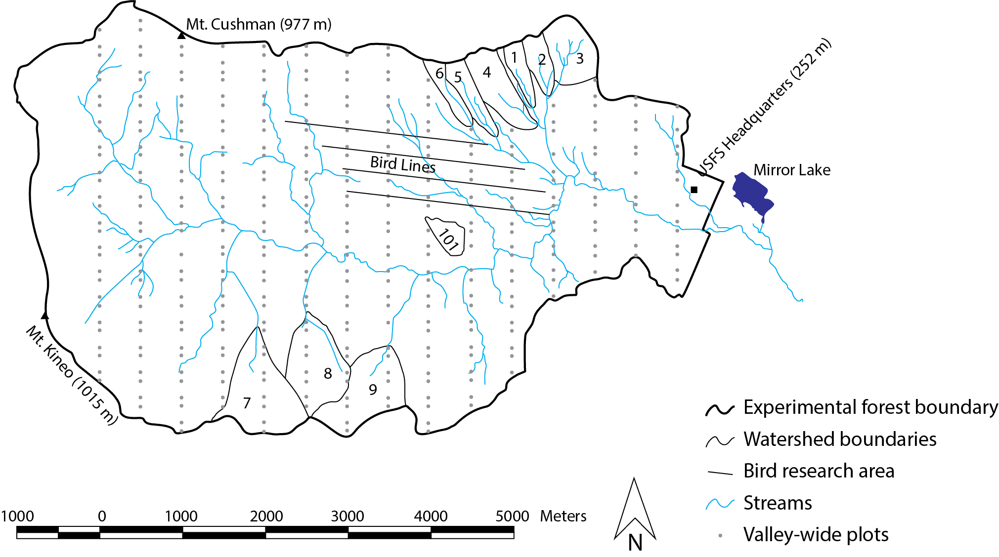
This coverage of permanent plots throughout the Hubbard Brook Valley was developed as part of Paul Schwarz's dissertation research. Fifteen North-South transects were established at 500m intervals to span the entire Hubbard Brook Valley. Between 1995 and 1997, 371 plots were positioned at 100m and 200m intervals along each transect. In 1998, 60 additional plots were positioned: three plots were placed at 25m intervals between two existing plots at 20 locations that were stratified according to elevation and aspect and selected at random. Hence, a system of 431 permanent 500 square meter circular plots were established. No plots were located in the six experimental watersheds designated for ecosystem research. The sampling layout of the plots was chosen to facilitate the analysis of spatial patterns in the forest vegetation by utilizing a wide range of distance intervals between plots. These intervals ranged from approximately 25m to several thousand meters. Data distributed as shapefile in Coordinate system EPSG:26919.